Surface positionning of an underground sump
(continued from the previous mission, surface positionning of an underground river)
Reminder: Our client wanted to realize a drilling in a karstic environment to access water resources in an underground river.
The underground river (or rather the drain) is situated 380m under the surface, and accessible after more than one kilometer of underground cave passages, mostly vertical.
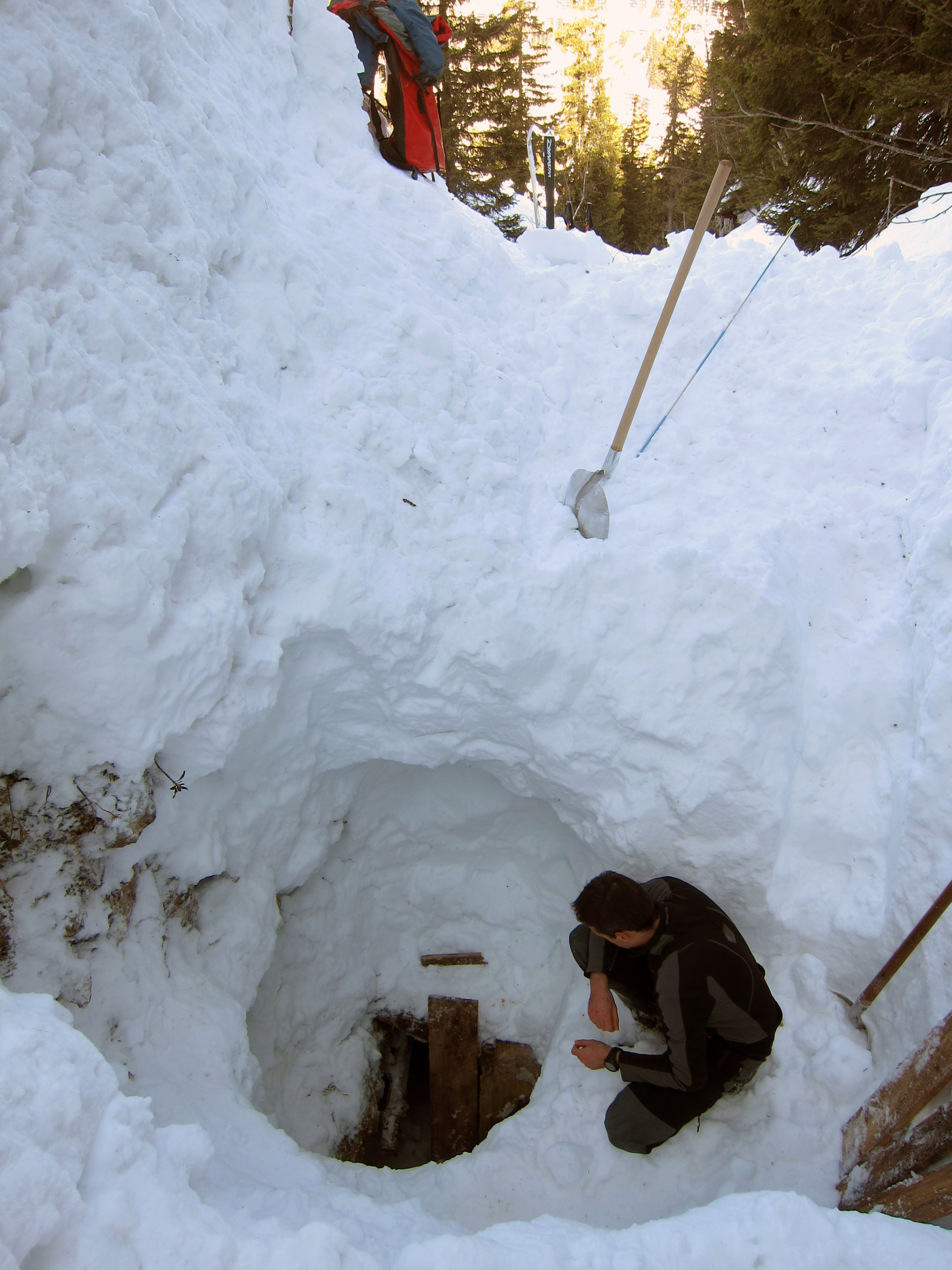
The abyss opens at an altitude of 1800m in the french Alps. Explorations take place in winter, for better weather stability, and low water levels.
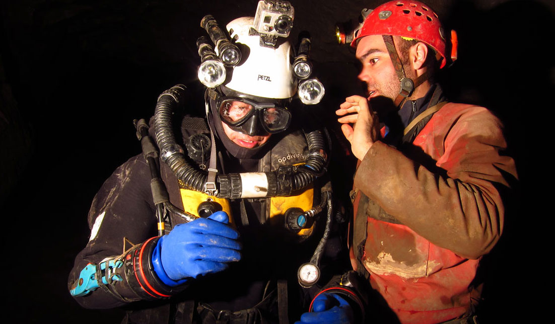
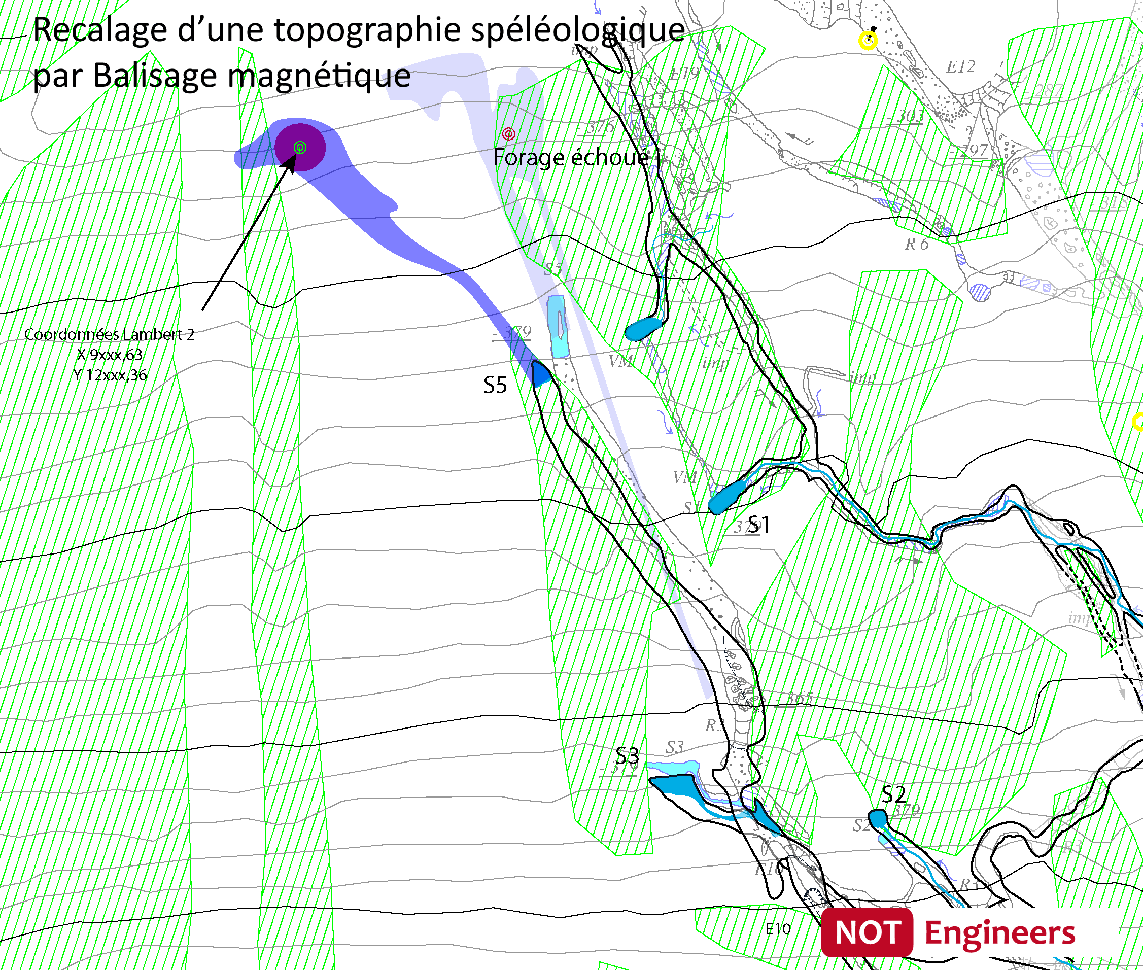
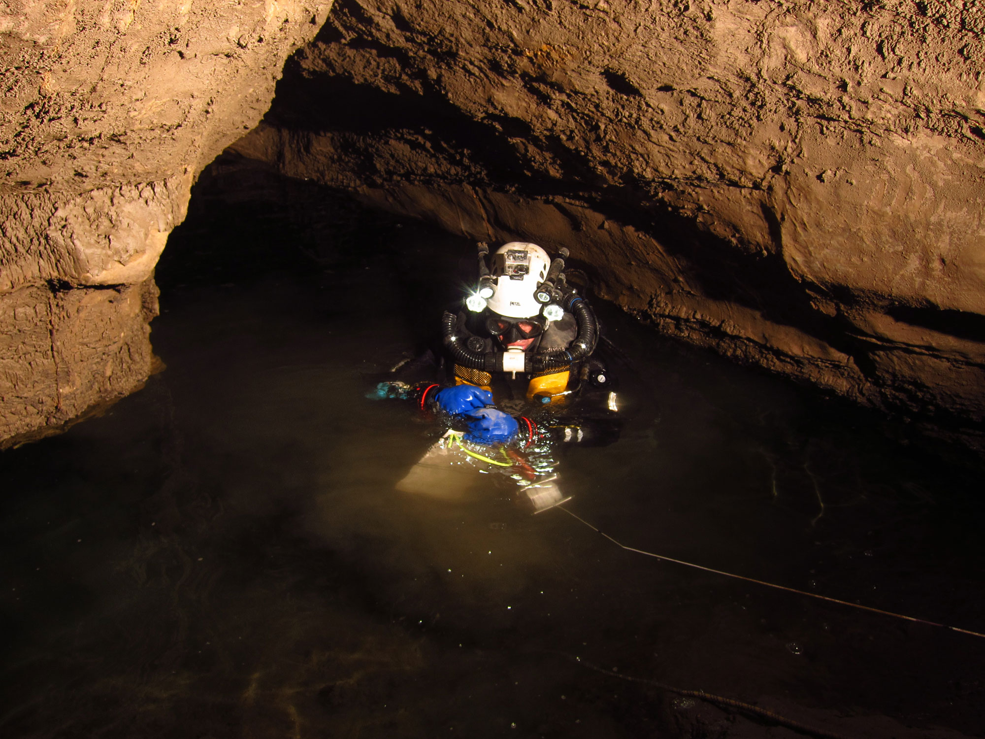
Having flunked the existing topography, we proceeded to the positioning of the siphon itself. Our underground positioning beacon is water-resistant up to 100m deep (300ft), and our diver went to ask open water to siphon the bottom tag that had been recognized 80m.
With our methodology, we have determined for our client the drilling place place with a good confidence level.


